| Name | Last modified | Size | Description | |
|---|---|---|---|---|
| Parent Directory | - | |||
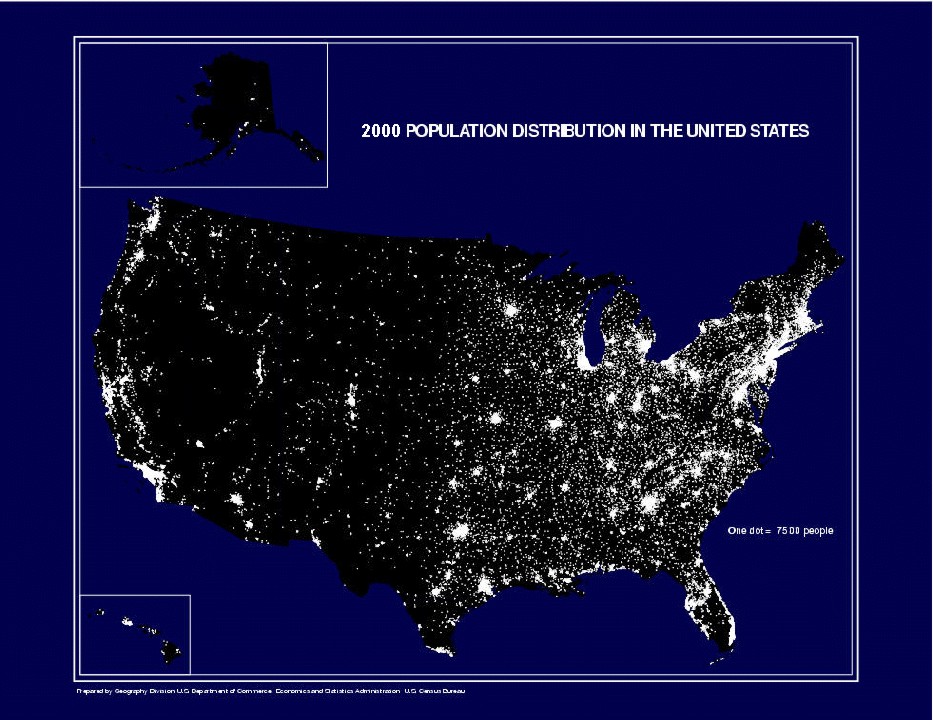
| 2k_night.jpg | 2007-05-19 19:56 | 169K | ||
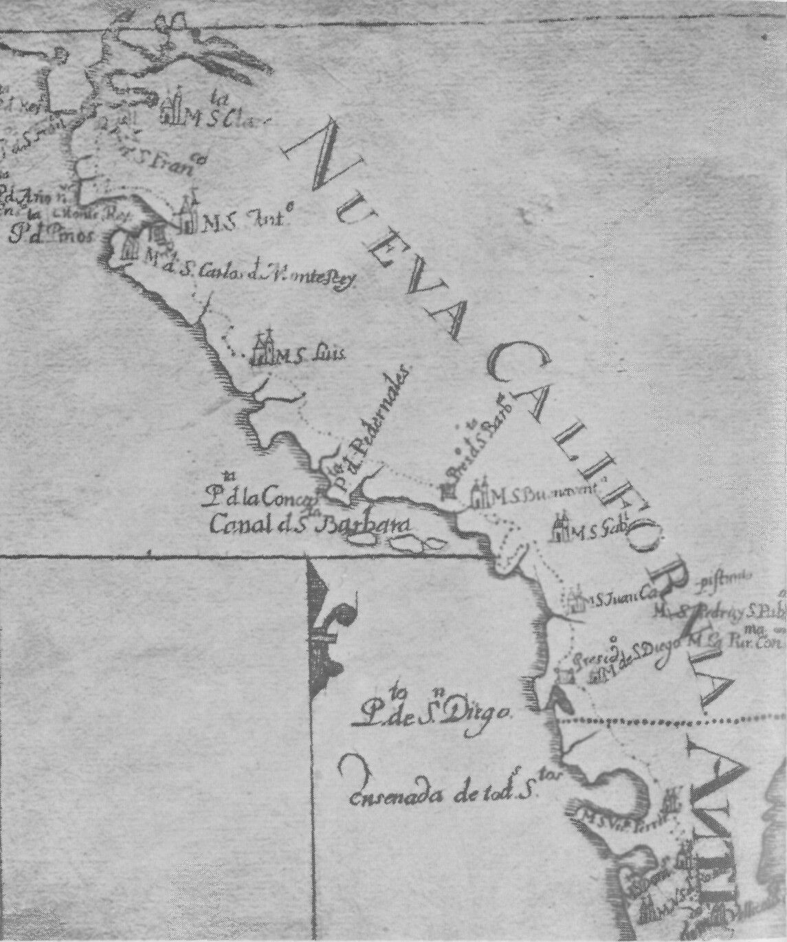
| 1787 Nueva Californi..> | 2011-03-01 09:12 | 225K | ||
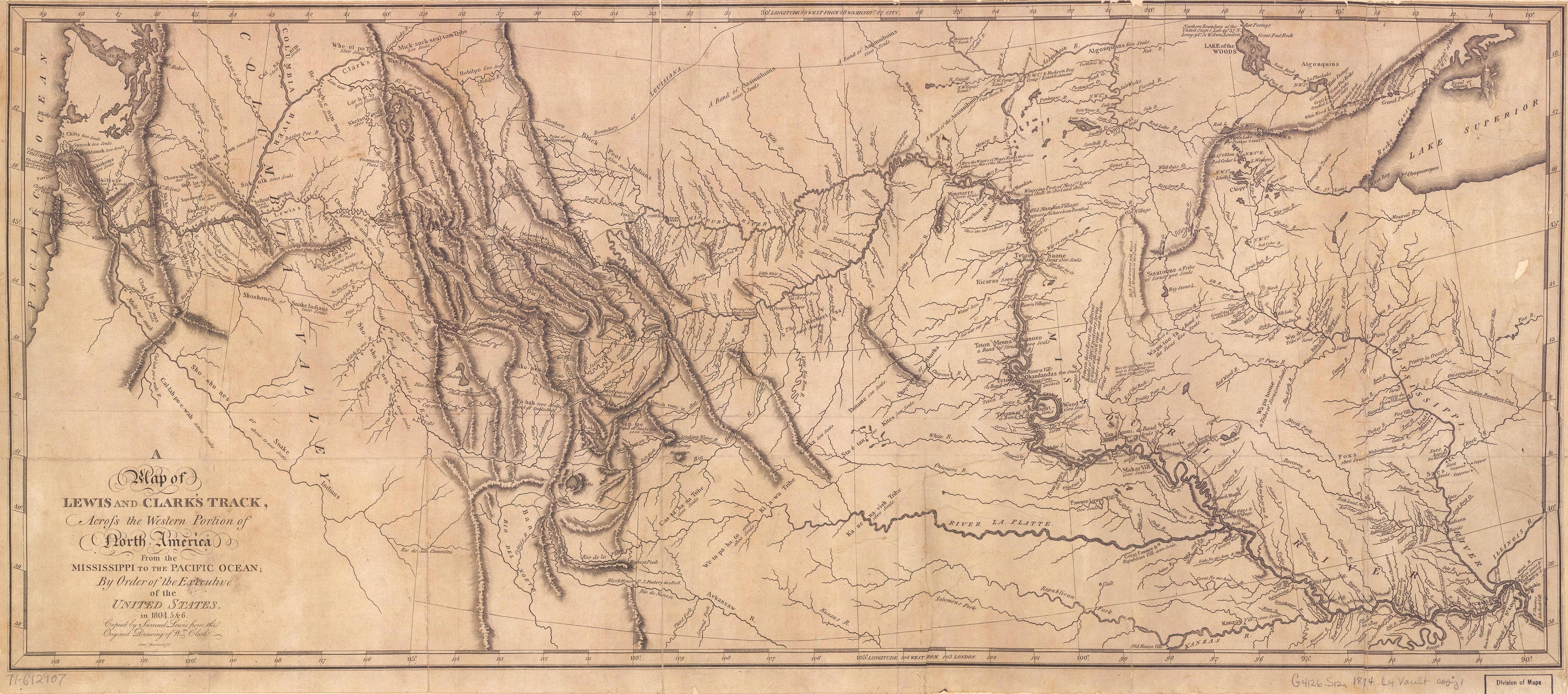
| 1806 Lewis and Clark..> | 2011-03-01 10:12 | 7.1M | ||
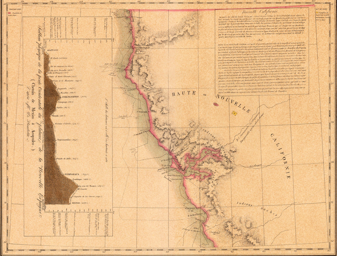
| 1827 Vandermaelen - ..> | 2011-03-01 10:01 | 1.4M | ||
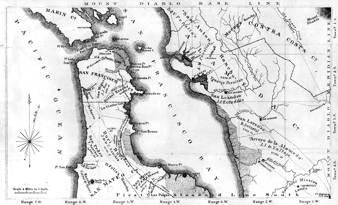
| 1860 San Francisco.gif | 2011-03-01 10:32 | 175K | ||
| Austin.jpg | 1999-07-17 02:27 | 40K | ||
| Austin 43d Jan 1995.jpg | 1999-07-17 14:09 | 119K | ||
| Bay Area Quakes.pdf | 2009-02-25 07:55 | 112K | ||
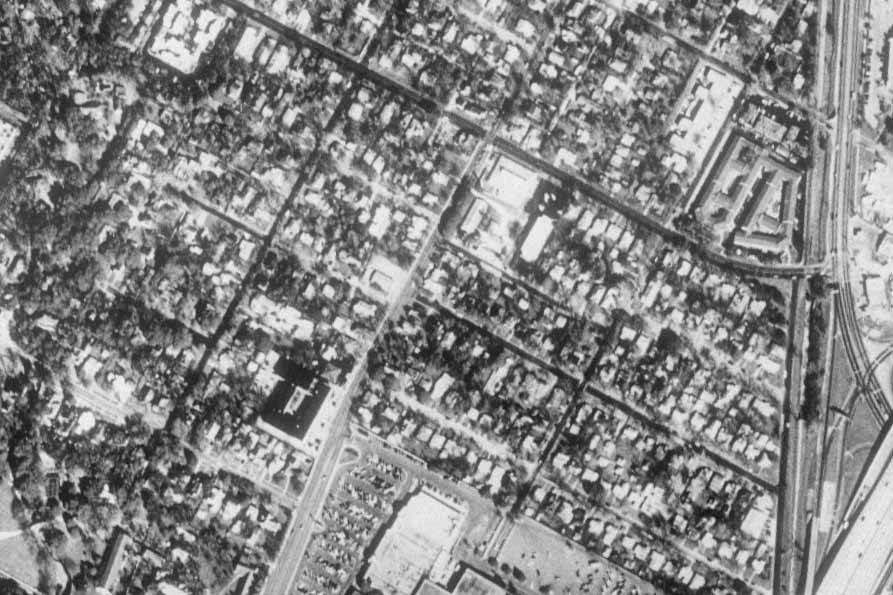
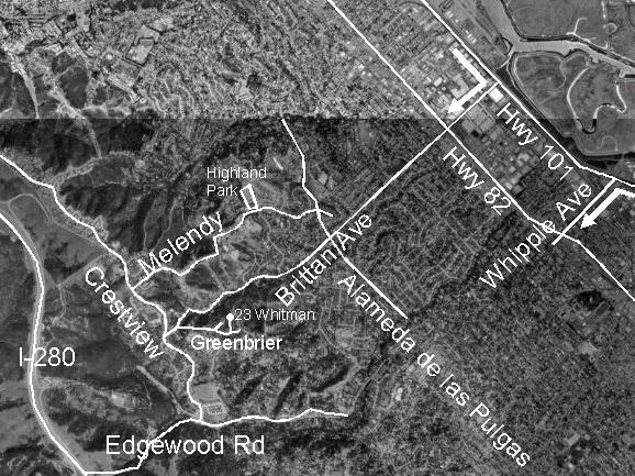
| BrittanHeightsMap.jpg | 2000-06-27 11:40 | 83K | ||
| CIA/ | 2026-05-03 18:57 | - | ||
| California/ | 2026-05-03 19:00 | - | ||
| Cities/ | 2026-05-03 19:00 | - | ||
| CowanHeights.jpg | 2001-02-22 08:11 | 127K | ||
| Earth/ | 2026-05-03 19:03 | - | ||
| Harborside.jpg | 1999-07-17 12:59 | 9.7K | ||
| Harborside 2 Jul 199..> | 1999-07-17 13:20 | 123K | ||
| Harborside Jul 1993.jpg | 1999-07-17 13:15 | 109K | ||
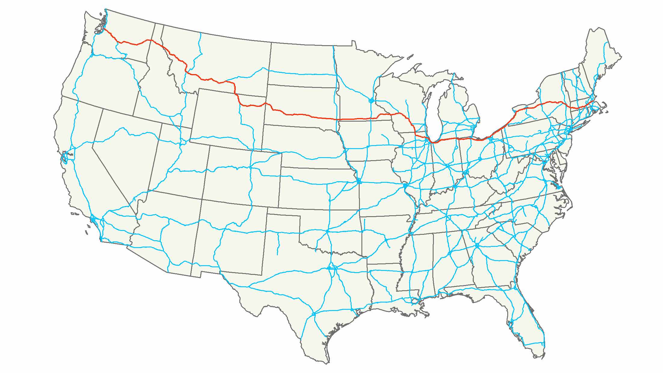
| Interstate_90_map_1.jpg | 2008-07-09 10:10 | 184K | ||
| Maps Other/ | 2026-05-03 19:03 | - | ||
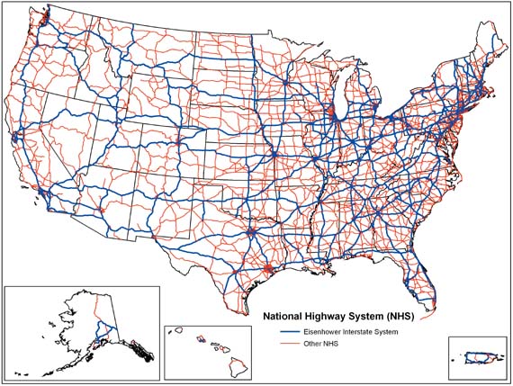
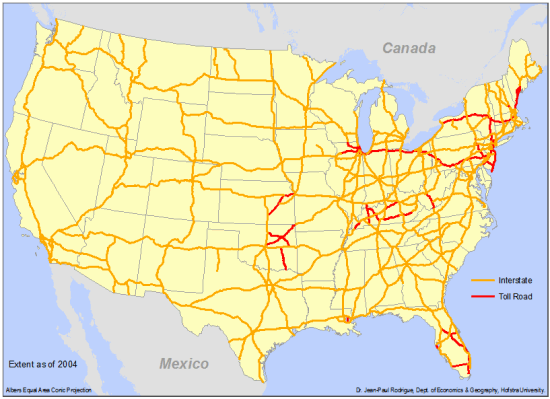
| Natl_Hwy_System.jpg | 2008-07-09 10:12 | 76K | ||
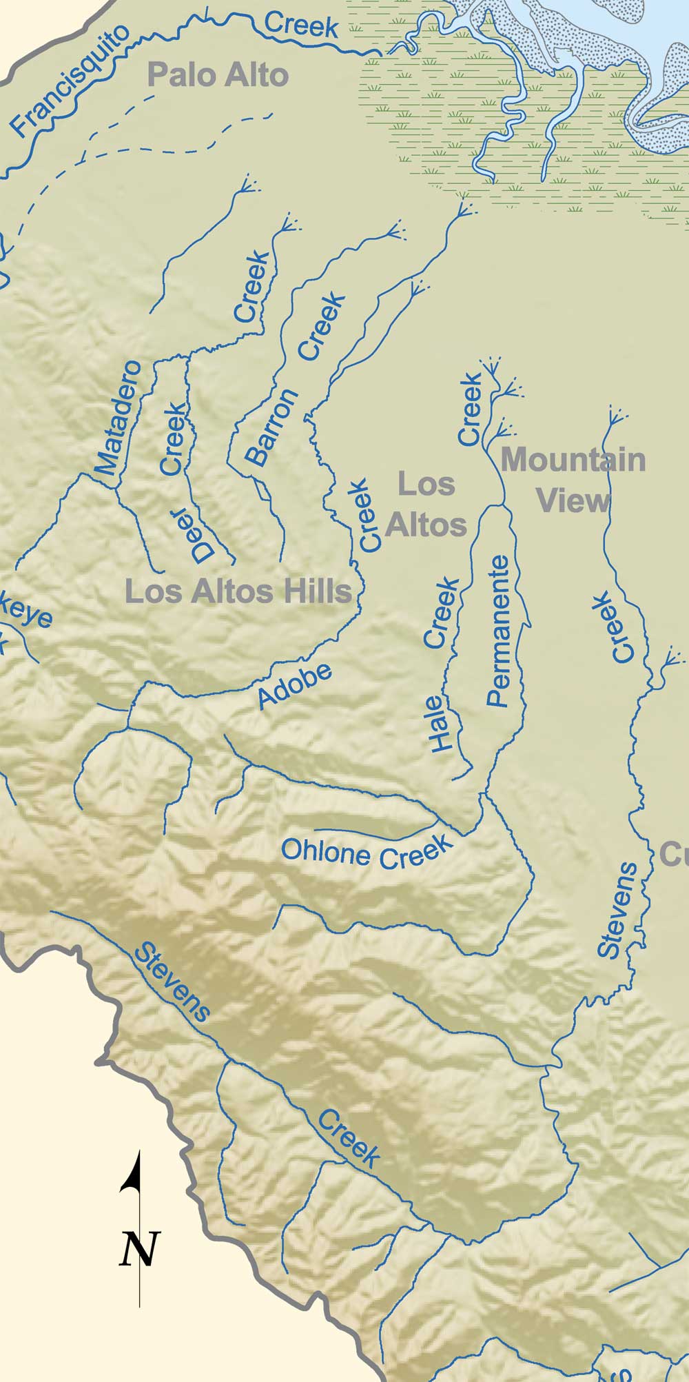
| OBStevens1000.jpg | 2011-02-28 16:01 | 180K | ||
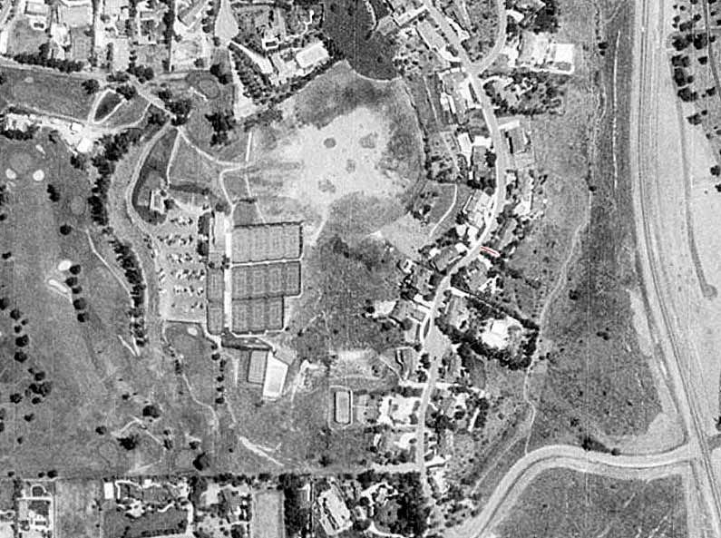
| OBStevensHist1000.jpg | 2011-02-28 16:02 | 176K | ||
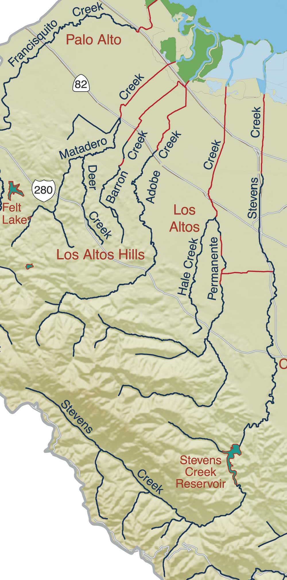
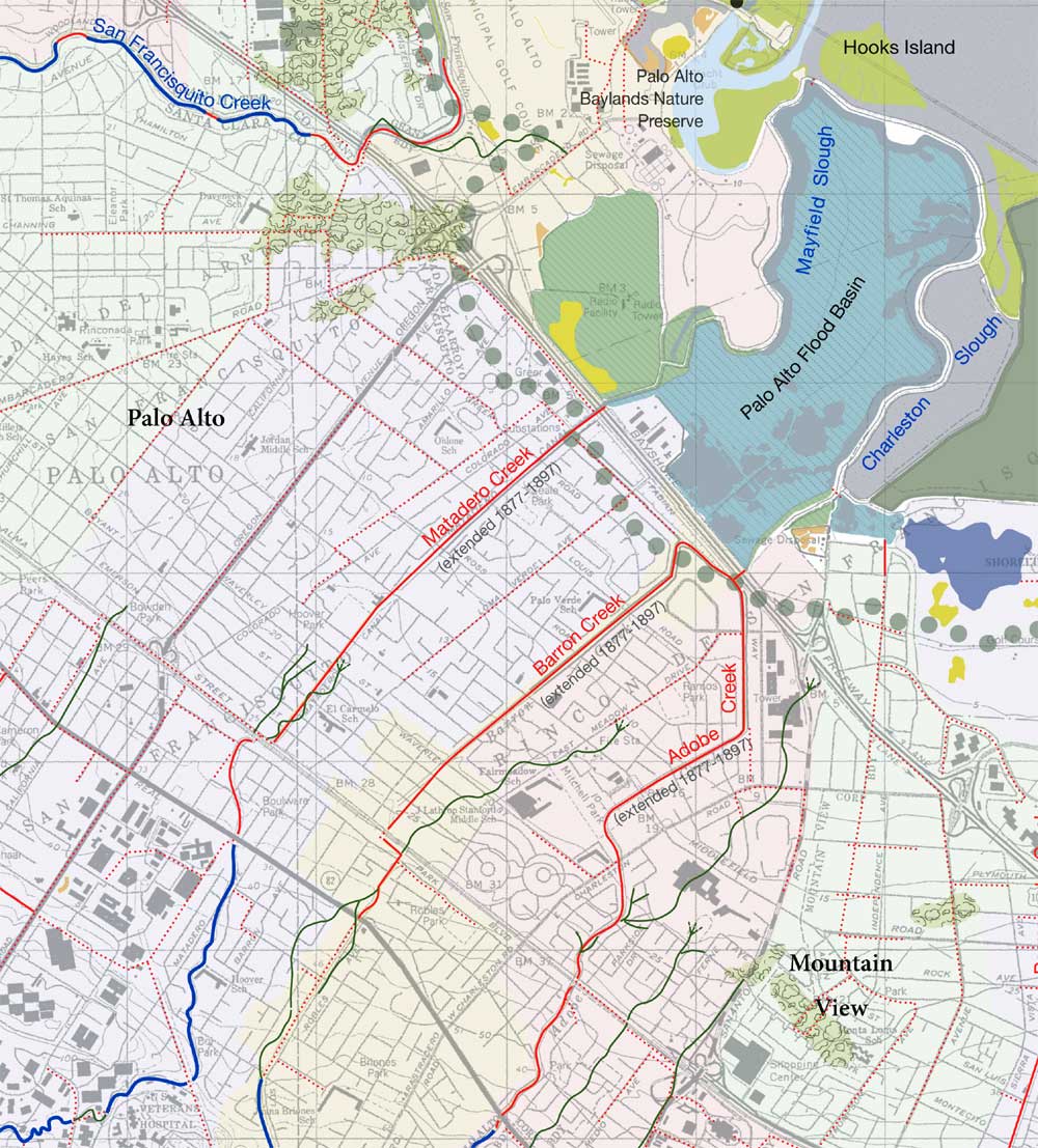
| OMMatBarAdoBlnd1000.jpg | 2011-02-28 16:03 | 208K | ||
| OrangeParkAcres.jpg | 2001-02-22 08:09 | 126K | ||
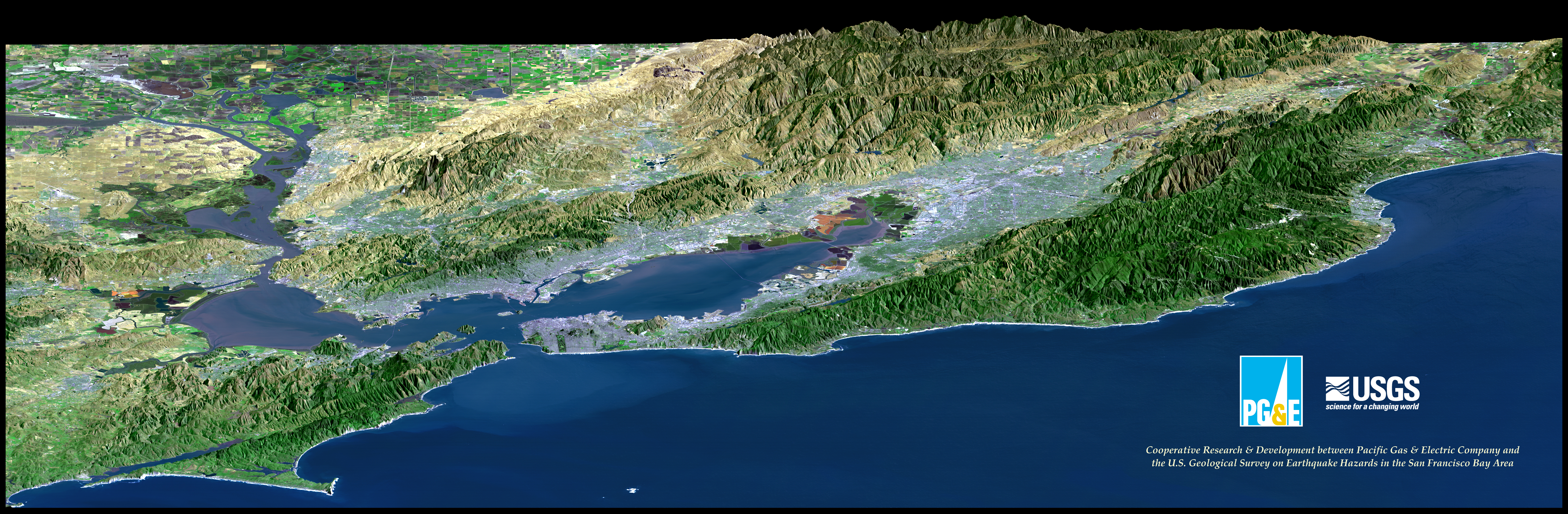
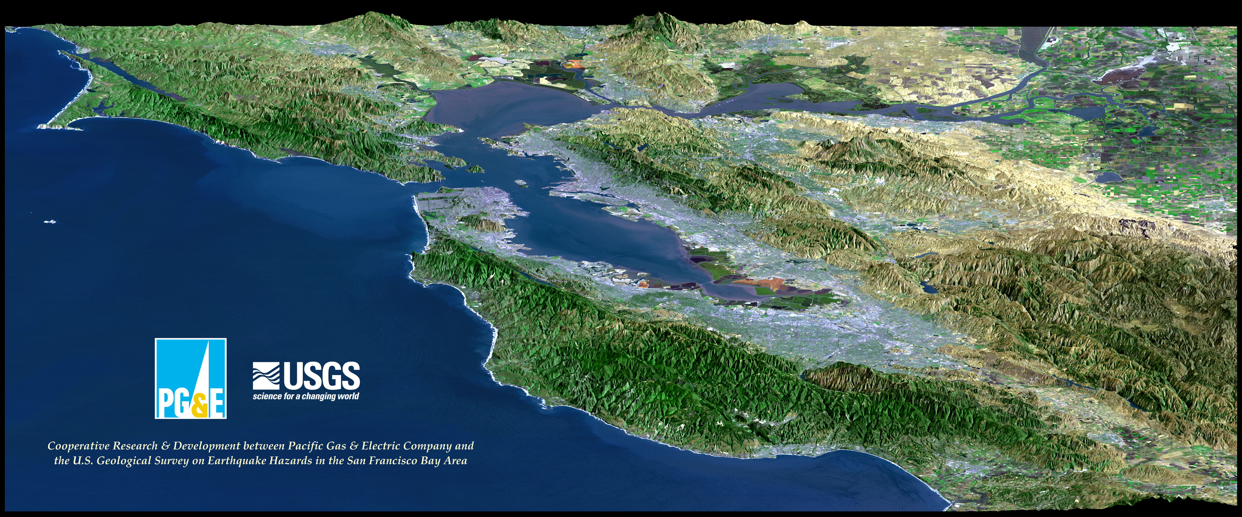
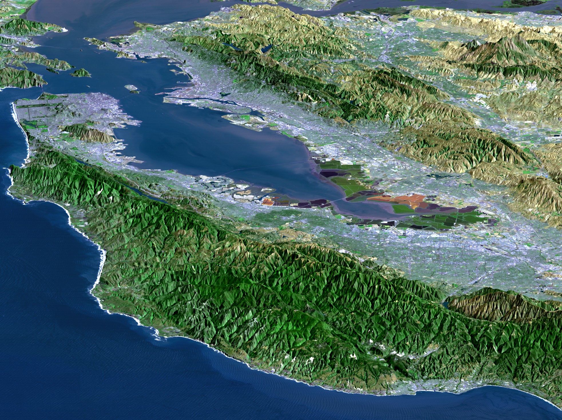
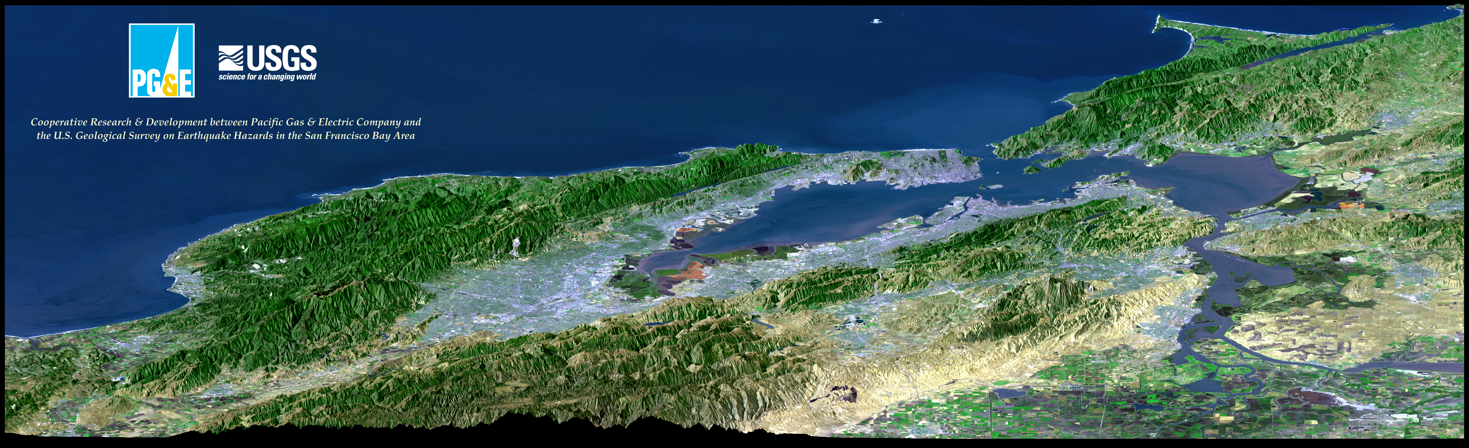
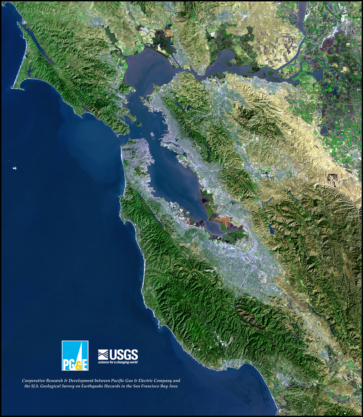
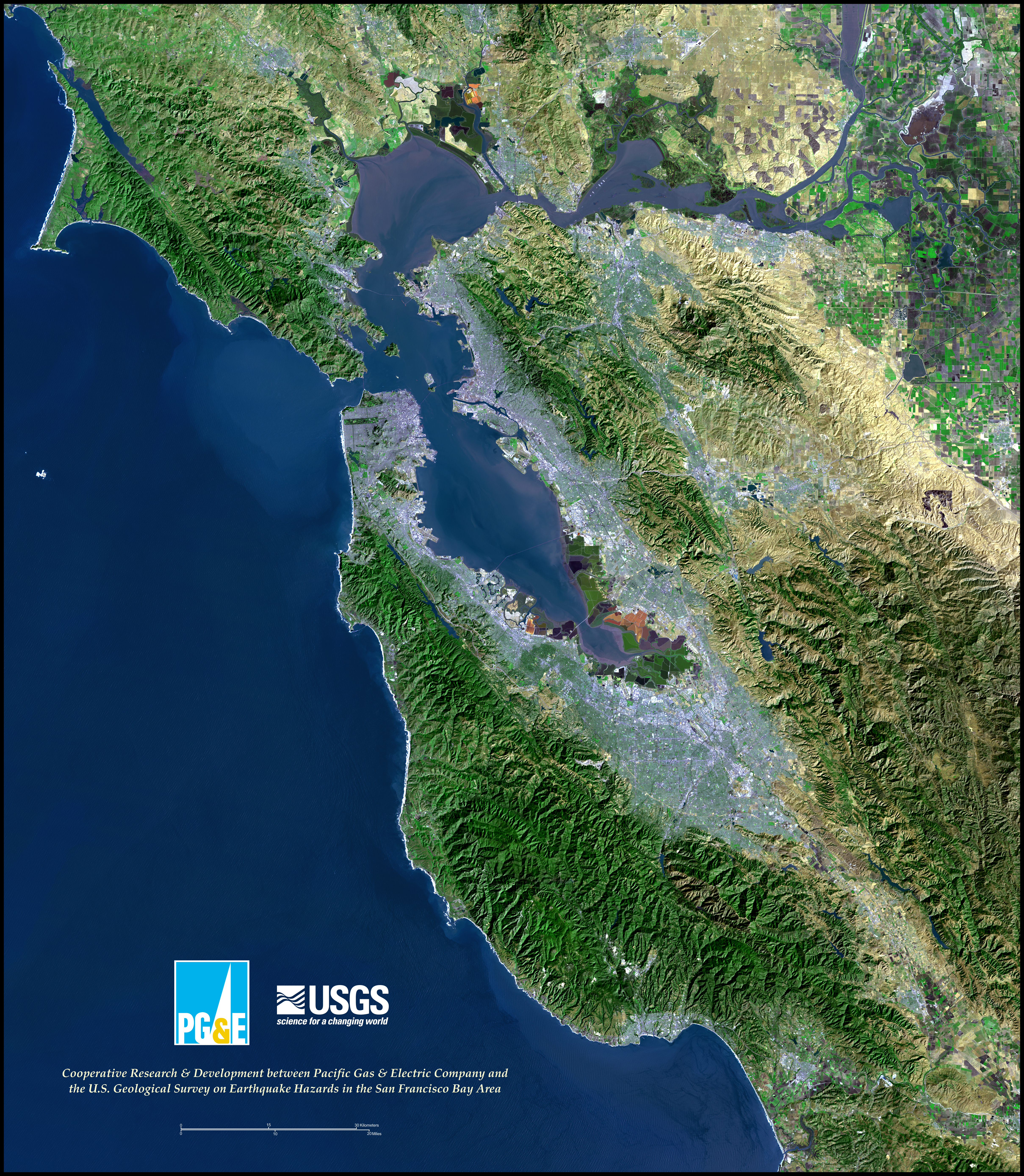
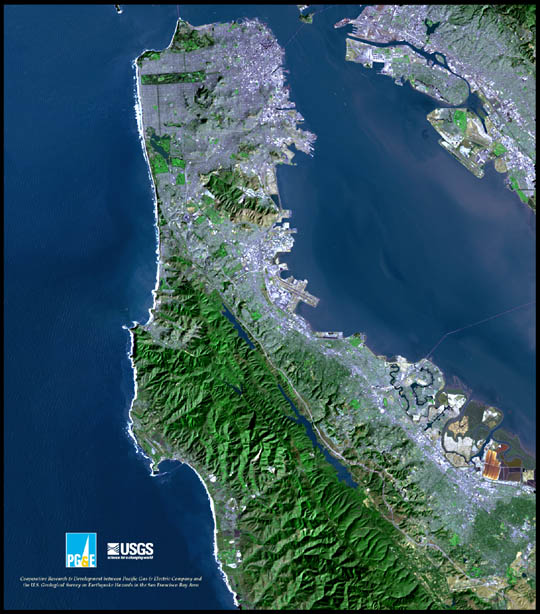
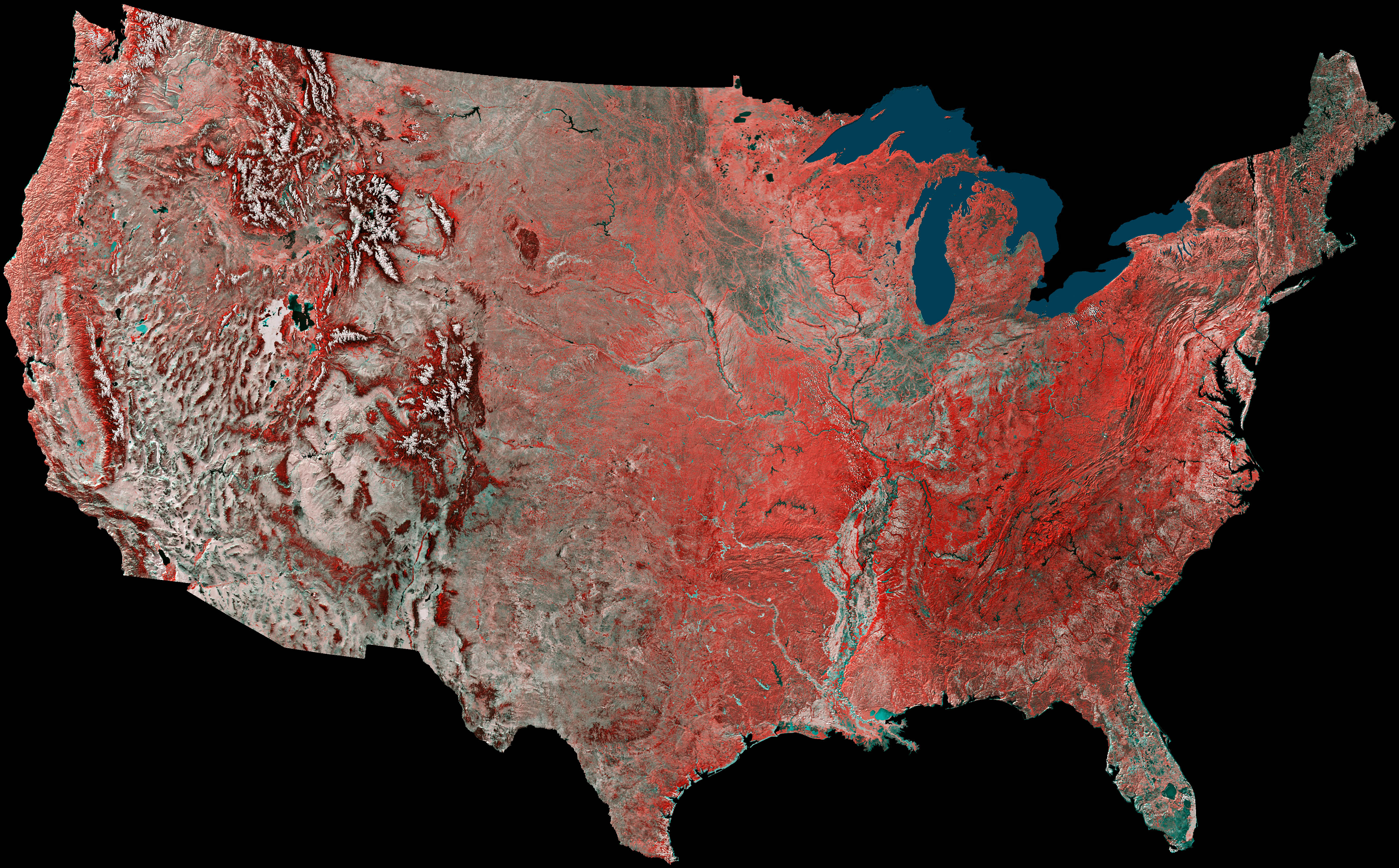
| SF Bay Area landsat ..> | 2003-07-01 16:30 | 10M | ||
| SF Bay Area landsat ..> | 2003-07-01 16:23 | 806K | ||
| SF Bay Area landsat ..> | 2003-07-01 16:24 | 10M | ||
| SF Bay Area landsat ..> | 2005-05-01 08:53 | 1.1M | ||
| SF Bay Area landsat ..> | 2003-07-01 16:29 | 9.7M | ||
| SF Bay Area landsat ..> | 2003-07-01 16:26 | 1.3M | ||
| SF Bay Area landsat ..> | 2003-07-01 16:26 | 29M | ||
| SF Bay Area landsat ..> | 2003-07-01 16:26 | 92K | ||
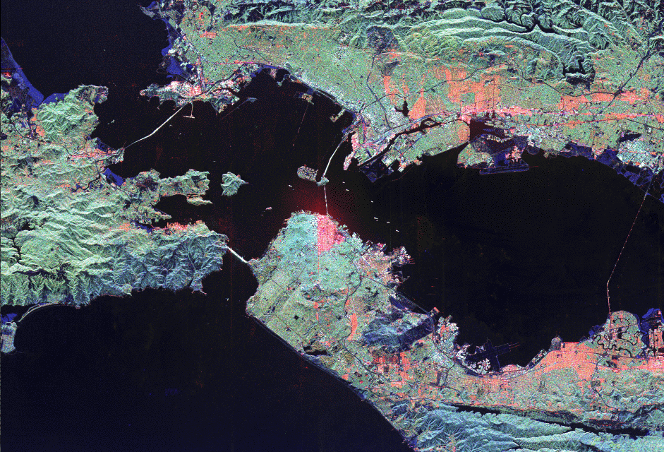
| San Francisco SRL-2.gif | 2003-07-01 16:10 | 469K | ||
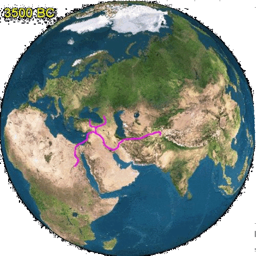
| Spread_of_Farming_(7..> | 2011-02-26 17:12 | 1.3M | ||
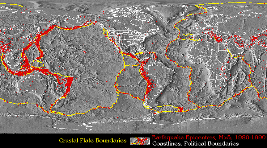
| Tectonics by NOAA.gif | 1999-07-17 13:35 | 171K | ||
| The_Growth_of_Urban_..> | 2011-02-26 17:13 | 1.6M | ||
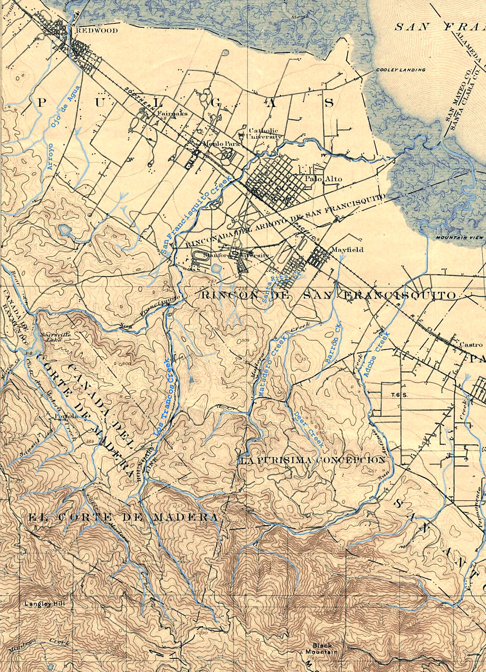
| TopoPaloAlto1899-100..> | 2011-02-28 16:04 | 590K | ||
| USA by AVHRR.jpg | 2002-06-13 23:15 | 2.2M | ||
| USflag.bmp | 2000-02-13 21:50 | 120K | ||
| USmap.bmp | 2009-05-21 22:32 | 471K | ||
| USmap.png | 2009-05-21 22:34 | 4.0K | ||
| US map flag.jpg | 2000-02-16 18:22 | 82K | ||
| USmap halfmask.png | 2009-05-21 22:40 | 3.2K | ||
| USmap hole.png | 2009-05-21 23:21 | 4.5K | ||
| USmap red.png | 2009-05-21 22:45 | 3.2K | ||
| USmap silhouette.png | 2009-05-25 15:55 | 3.2K | ||
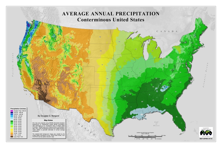
| US precipitation.jpg | 2002-04-20 01:17 | 231K | ||
| Whitman.jpg | 2000-01-23 21:09 | 90K | ||
| World Languages.pdf | 2002-06-14 00:11 | 461K | ||
| World Religions.pdf | 2002-06-14 00:09 | 464K | ||
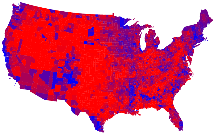
| countymap3070large.png | 2007-05-19 21:07 | 150K | ||
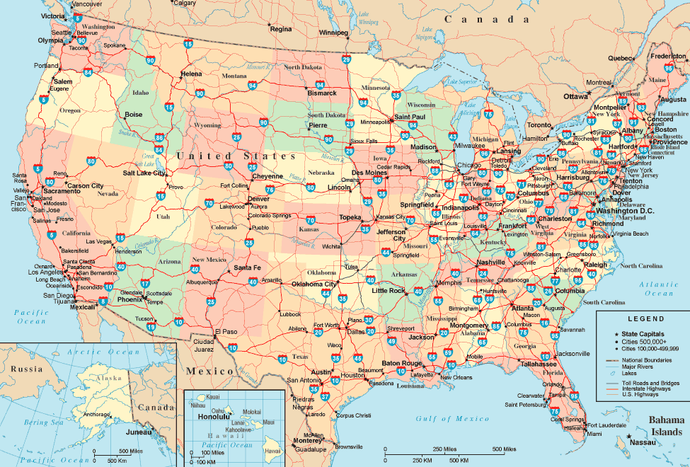
| highway-map.gif | 2008-07-09 10:08 | 141K | ||
| map_interstatesystem..> | 2008-07-09 10:15 | 41K | ||
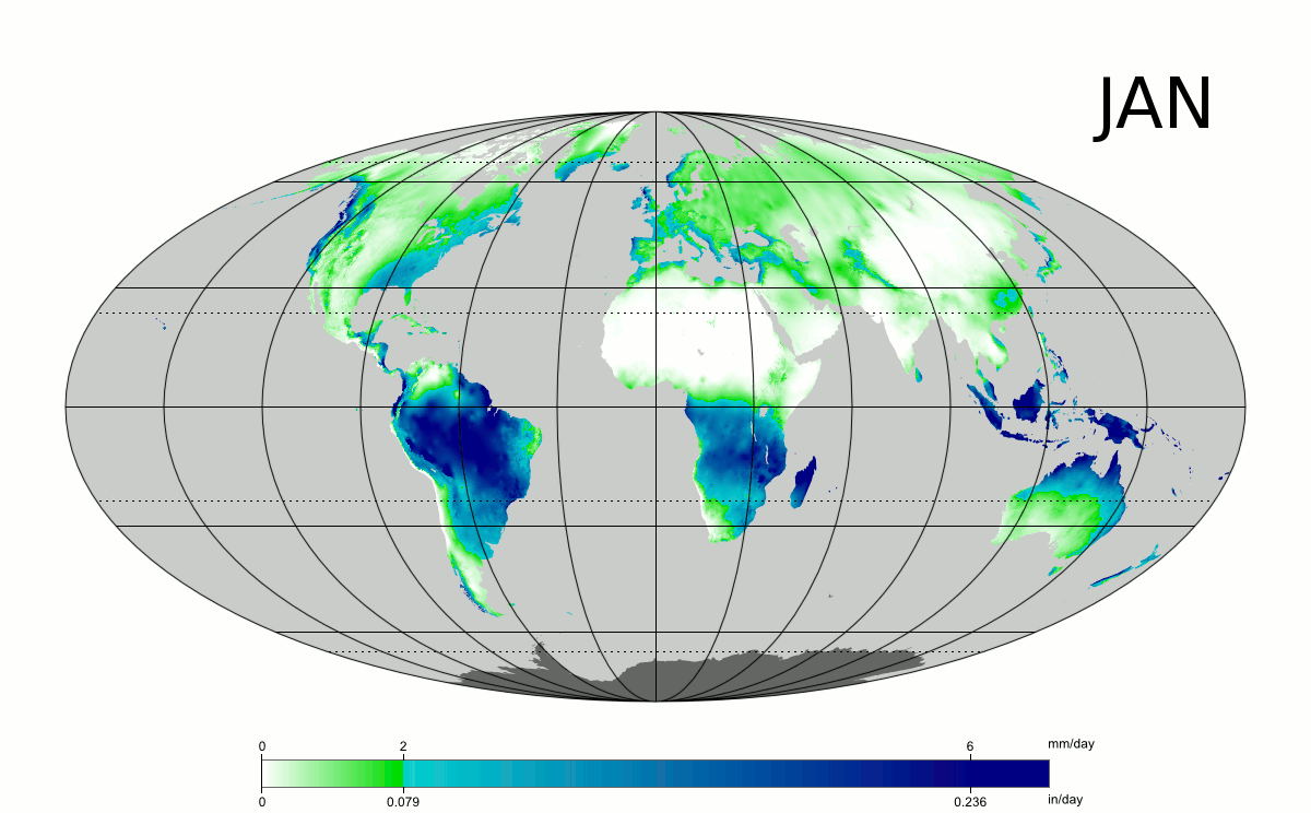
| world precipitation ..> | 2011-02-26 20:34 | 1.5M | ||
.gif)